Screenshots BBBike extracts
Garmin OSM | Garmin ajt03 | Garmin Cycle | Garmin Openfietsmap Lite | Garmin Openfietsmap Full | Garmin BBBike | Garmin Leisure | Garmin OpenTopoMap | Garmin Onroad | Garmin Ontrail | Garmin OpenSeaMap | Garmin OSM & Contours (SRTM) | Garmin Contours (SRTM) | MBTiles | PMTiles | SVG/PNG | Osmand | Osmand with Contours (SRTM) | Osmand OpenSeaMap | Osmand Ski Map | mapsforge OSM | OPL | CSV | OSM XML | PBF | o5m | Shape | GeoJSON | GeoParquet | GeoPackage | SQLite | Text

|
By default all generated Garmin maps from OpenStreetMap data will use the code page Unicode (UTF-8).
However, some older devices don't support Unicode and some new devices have a broken DRM firmware
("can not unlock map").
In this special case please use the latin1 style.
Garmin SRTM extracts use always the ASCII/latin1 character set.
|
|||||
Garmin OSM 


|
|||||
Garmin Cycle - legend 


|
|||||
Garmin Openfietsmap Lite - legend 


|
|||||
Garmin Openfietsmap Full - legend 


|
|||||
Garmin BBBike - legend 


|
|||||
Garmin Leisure - legend 


|
|||||
Garmin OpenTopoMap 


|
|||||
Garmin Onroad - legend A Garmin style for older devices with less space - usually 1/10 the size of Garmin OSM 


|
|||||
Garmin Ontrail - legend A Garmin style for older devices with less space - usually 1/5 the size of Garmin OSM 


| |||||
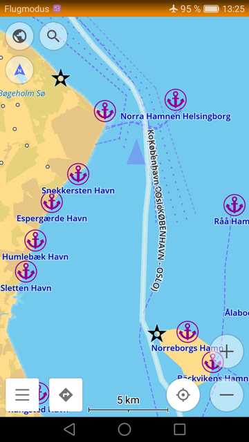
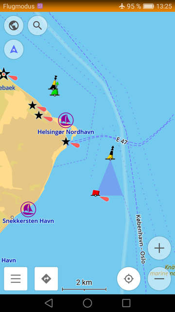
Garmin OpenSeaMap - legend map style from OpenSeaMap.org, the free nautical chart 


|
|||||
Garmin OSM & Contours (SRTM) 


|
|||||
Garmin Contours (SRTM) 


|
|||||
MBTiles 

|
|||||
PMTiles 

|
|||||
SVG / PNG 


|
|||||
Osmand  |
Osmand with Contours (SRTM)  |
Osmand with Contours (SRTM)  |
|||
OsmAnd OpenSeaMap 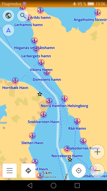
|
|||||
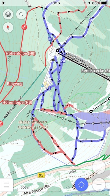
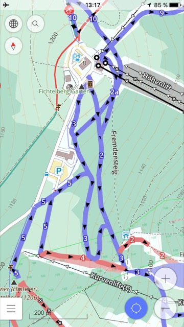
OsmAnd Ski Map 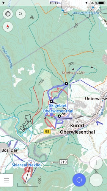
|
|||||
mapsforge  |
|||||
OPL  |
CSV  |
||||
OSM  |
PBF  |
||||
o5m  |
Shape  |
||||
GeoJSON  |
GeoParquet  |
GeoPackage  |
|||
SQLite  |
Text  |
||||