Help BBBike Garmin custom map extracts
Welcome to the BBBike Garmin custom map extracts help page! This help page is about how to install a ready extract on your Garmin device or computer.
Please read the general help page first how to use the BBBike extract service and run your extract.
Install a custom Garmin map on your device
Installing a custom Garmin image on your device is easy:- connect your Garmin with a USB cable to your computer (or your SD card). You will see the Garmin device as a disk/storage in the explorer
- download the zip file and open it. There is a gmapsupp.img file inside
- copy the gmapsupp.img file to your Garmin device in the folder /Garmin with the explorer (Windows) or finder (MacOS). You can do this also on the command line on Linux/FreeBSD.
That's all. You are done! See also Installing_the_map_onto_your_GPS
The BBBike extract service is platform independent - for Windows, MacOS, Linux, FreeBSD etc. There is no windows .exe installer, and there are no other special tools required.
YouTube tutorials
There are several YouTube tutorials available how to use the BBBike extract service for Garmin. The videos are available in different languages, in English, German, Spanish, Polish, and Ukrainian etc.
How to Download Free Trail Maps on Garmin GPS (English)
FREE World-Wide Garmin EDGE Maps // BBBike Updated Info! (English)
How To Download Free Garmin Compatible Openstreetmap (OSM) maps for Handhelds (English)
Perfekte OSM-Ausschnitte für Garmin-Geräte (Teil 1): einfache Kartenausschnitte (German)
Perfekte OSM-Ausschnitte (Teil 2): komplexe, polygonale Ausschnitte (German)
See also the other parts
- Perfekte OSM-Ausschnitte (Teil 3): Testvorbereitung unterschiedlicher Kartentypen
- Perfekte OSM-Ausschnitte (Teil 4): Kartentyp "BBBike"
- Perfekte OSM-Ausschnitte (Teil 5): Kartentyp "OnRoad/OnTrail"
- Perfekte OSM-Ausschnitte (Teil 6): Kartentyp "Leisure" (Freizeitkarte)
- Perfekte OSM-Ausschnitte (Teil 7): Kartentyp "CycleMap"
- Perfekte OSM-Ausschnitte (Teil 8): Kartentyp "OpenFiets"
- Perfekte OSM-Ausschnitte (Teil 9): Kartentyp "OpenSeamap"
- Perfekte OSM-Ausschnitte(Teil 10): Kartentyp "OpenTopo"
Garmin eTrex 10 Karte aufspielen | OSM Download und Installation für Einsteiger (German)
Descarga MAPAS GRATIS para GARMIN 530, 830 y 1030 en 5 minutos (Spanish)
Mapas GRATIS/FREE para Garmin EDGE/EXPLORER/EPIX (Spanish)
See also the blog article
Jak dodać własny i darmowy fragment mapy do Garmina (Polish)
ВСТАНОВИ КАРТИ САМ - швидкий та простий гайд для годинників Garmin (Ukrainian)
Как настроить бесплатные карты на GARMIN устройствах (Russian)
Garmin echoMAP 52dv CHIRP - OpenSeaMap installation (English)
View a custom Garmin map on your PC
You can open the custom Garmin image on your computer with BaseCamp or QMapShack and view the map.
Misc
- A lot of Screenshots of Garmin map styles are available
- Please read the general extract help page
Garmin internals
Routing is enabled for the Garmin maps. Depending on your device, it is possible to store more than one Garmin map (or with different styles) on your Garmin.
By default all generated Garmin maps from OpenStreetMap data will use the code page Unicode (UTF-8). However, some older devices don't support Unicode and some new devices have a broken DRM firmware ("can not unlock map"). In this special case please use the latin1 variant. Garmin SRTM extracts use always the ASCII/latin1 character set.
Screenshots of Garmin styles


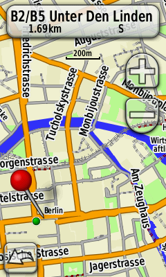
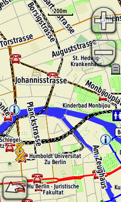
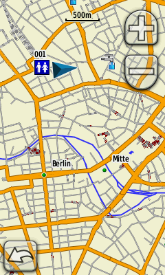
Here are some small example extracts with all Garmin styles for: Luxembourg, Jordan, and Cambodia.
Garmin Styles
| osm | standard OpenStreetMap style, best for cars |
| ajt03 | map style from atownsend.org.uk, specifically useful to rural pedestrians |
| cycle | map style similar to opencyclemap.org, for cyclist |
| leisure | map style from freizeitkarte-osm.de, for outdoor activities. The .img file is ~30% larger than the osm/cycle file |
| bbbike | map style from bbbike.de similar to German maps, for outdoor activities |
| onroad | a Garmin style for older devices with less space - usually 1/10 the size of Garmin OSM, see github.com/raintonr/mkgmap-bike-onroad, for outdoor activities / racing bicycles |
| ontrail | a Garmin style for older devices with less space - usually 1/3 the size of Garmin OSM, based on onroad but with smaller roads too, for outdoor activities / hike & bike |
| openfietslite | map style from OpenFietsMap.nl, for outdoor activities. Lite version |
| openfietsfull | map style from OpenFietsMap.nl, for outdoor activities. Full version |
| opentopo | map style from OpenTopoMap.org, topographic map style with high contrast |
| oseam | map style from OpenSeaMap.org, the free nautical chart |
Terms of Service / Copyright
- Map data (©) OpenStreetMap.org contributors.
- Shuttle Radar Topography Mission (SRTM), by NASA, public domain.
